Austin / Travis County and South Central Texas Weather Update #7
Prepared by UT University/Incident Meteorologist Troy Kimmel
355pm CT – Sunday / 10 May 2015
…. Rain and Thunderstorm Activity Slow to Get Underway ….
…. Tornado Watch Until 9pm for IH35 Counties Westward ….
…. Severe Weather Risk Mainly in Areas North Through West of Austin Area ….
…. Heavy Rain / Flood Threat Being Pushed Back…
…. 6 to 8 inch Rainfall Amounts Still Possible Beginning Later Tonight and Tomorrow
Through Thursday and Friday ….
As a start… an observation. I have never seen (or at least can’t recall) an almost 11 hour
long tornado watch issued by the NWS/Storm Prediction Center or even by their
predecessors at the NWS/National Severe Storm Forecast Center in Kansas City (for
you older folks out there). Never. The watch was issued at 1015am this morning and it
is valid until 9pm tonight. Not much of a point to make except it is an awfully big watch
for a MUCH longer time period than in usually seen in a NWS/SPC severe weather watch.
At mid afternoon on this Sunday.. or halfway through that watch.. there is not much
happening in that watch that is close to our area. In fact, we haven’t seen any precipitation
of consequence on the IH35 corridor counties around Austin, other than “streamer” rain
showers coming up from the south. A scattered line of rain showers seems to be getting
better developed from north of Llano to Fredericksburg and Kerrville which we need
to monitor closely.
So.. “the elephant in the room” question… when is this event going to get underway
for our local IH35 corridor area? Frankly, folks, it is tough to say other than to look at the
potential triggers and associated lift (upper air disturbances, surface boundaries) since the
other ingredients.. namely upper air wind shear, surface moisture and instability are
there. The shorter range models (HRRR) don’t really suggest much until after 6 to
7pm tonight and even that model carries most of the precipitation west to east to our
immediate north. Please understand that we’ve seen this issue this spring.. a few weeks
back when models suggested a couple of inches of rain. Ultimately, during that event, the
rain started later than was expected.. passed primarily to our north and we ended up with
less than 1/2 inch of rain (by the way, I am NOT expecting that this week!!). All I’m saying
is that there is still considerable uncertainty regarding precipitation timing.
Back to this afternoon into tonight and the days ahead. This afternoon into tonight, I think
the severe weather risk will be highest to our west through northwest and north but we are in
the tornado watch area and need to be closely monitoring weather very closely for the
possibility of very large hail as well as damaging straight line thunderstorm winds as well
as for an isolated tornado tonight (especially in areas to our west.. northwest and north).
Flash flooding is possible in isolated areas as well.
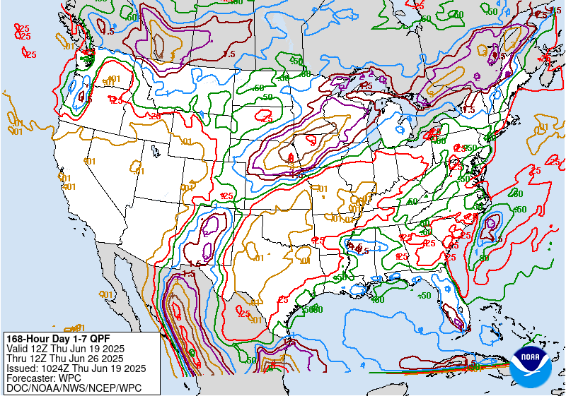
Rain wise.. the latest QPF guidance from the NWS/Weather Prediction Center still suggests
upwards of 6 to 8 inches throughout area for the period starting at 7pm tonight and 7pm next
Sunday night. Of that, 2 to 3 inch totals are specifically forecast between 7pm tonight and 7pm
tomorrow night for the local area.. with another 1 to 2 inches locally from 7pm tomorrow night
through 7pm Tuesday night. An additional 1/2 to 1 inch is predicted locally from 7pm Tuesday
night through 7pm Wednesday night.
Agreeing is the morning run of the European (ECMWF) Model which is forecasting rainfall
totals for Austin (data for Camp Mabry) of 6.95 inches of rain between now and 7pm
Thursday night.
Keep in mind that as the event begins, flash flooding will be the initial hydrological issue with
more general flash flooding and even some river flooding as the rainfall event continues across
the area.
The long and short of it is that we must remain proactive and weather aware through tonight
and over the coming days. Our colleagues at the NWS/Austin-San Antonio will continue to keep
us informed as it regards timing as we approach this event.
Continuing to monitor.. tk
