Whether it’s for science projects or if you are just curious, here are some cool weather links. If you’ve ever wanted to know or get access to …
… the current hour south Texas weather observations
… the hourly weather conditions for the past three days at (latest on the top)…
Austin Bergstrom International Airport
Austin Camp Mabry
Austin Executive Airport (near Manor)
Taylor Airport
Lago Vista Rusty Allen Airport
Georgetown Municipal Airport
San Marcos Municipal Airport
LaGrange Fayette County Airport
Giddings/Lee County Airport
Burnet Craddock Field
Horseshoe Bay Airport
Llano Municipal Airport
Fredericksburg Municipal Airport
… the local daily climate report (most recent with the ability to go to “previous versions”)
Austin Bergstrom
Austin Mabry
… daily (by month) comprehensive calendar day climate data for local locations. Current month always displays first; use “previous versions” to see previous months back about 2 years; see
this reference to understand how to decode
Austin Bergstrom International Airport
Austin Mabry
… a quick satellite view of Austin and south central Texas
Visible Image (not available at night; it relies on the light of the Sun)…
Texas Infrared Image
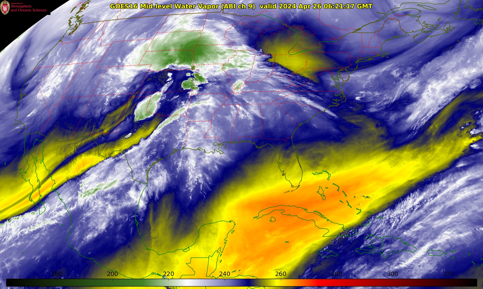
US Water Vapor Image
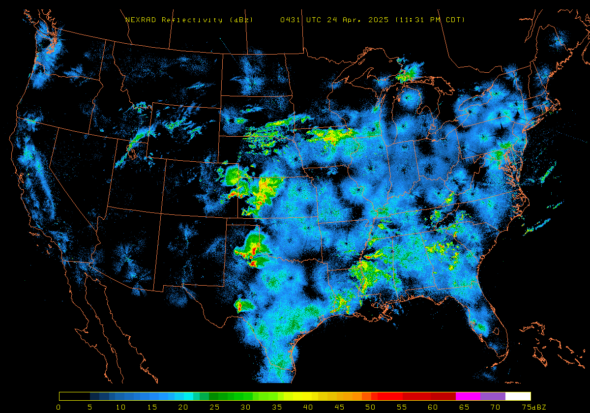
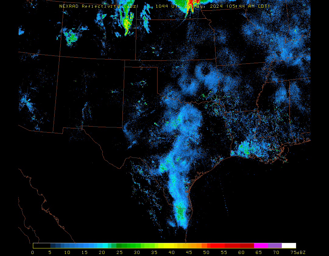
… a quick look at composite National Weather Service radars
Across the USA (animation loop)
Across the USA (latest image)
Across Texas (animation loop)
Across Texas (latest image)
… a current surface weather map (fronts) of the United States
Detailed (click to expand)
… the latest upper level wind flow at about 18,500 feet along with a water vapor satellite image (really cool!!)
… an updated text list all USA severe thunderstorm, tornado and flash flood warnings (most recent on top)
(Links courtesy: NOAA/National Weather Service, NASA, University of Arizona, College of DuPage and Daryl at the Iowa Environmental Mesonet/Iowa State University)
Updated Sun/13Oct2024