Austin / Travis County and South Central Texas Weather Update #6
Prepared by UT University/Incident Meteorologist Troy Kimmel
1150am CT – Saturday / 09 May 2015
…. Rain and Thunderstorm Chances Continue ….
…. Severe Weather Risk Mainly in Areas North of Austin Area ….
…. Heavy Rain / Flood Threat Now Looking to Hold Off Until Sunday Night
and Into the New Week.. 5 to 7 inch Rainfall Amounts Possible Locally ….
Other than a couple of stronger thunderstorms yesterday that produced
beneficial rains over Burnet and Williamson counties along with a few
reports of straight line wind damage.. so far, so good, as far as our Austin
and south central Texas weather is concerned. As we continue to move into
higher thunderstorm chances over the coming days, however, I would
remind you of (1) the dangers of deadly cloud-to-ground lightning as well
as (2) the importance of the NWS slogan “turn around, don’t drown” as it
regards flooding/flash flooding and flooded low water crossings. Over
the next week, I continue to think that it is going to be important that we
remember these two important weather safety topics.
On this Saturday midday.. a potent area of upper air low pressure is
spinning in a counter clockwise manner and is centered over the four
corners region of Colorado.. Utah.. Arizona and New Mexico. Disturbances
continue to be ejected, like spokes on a bicycle wheel, in the counter clockwise
flow over the northern and western areas of Texas and Oklahoma where
thunderstorms have been (and are expected to be today as well) more severe
and with flooding rains. The more dynamic upper air disturbances have remained
to our north and west over the last 24 hours… that’s where the more significant
weather has been occurring.
This changes, I feel, by late Sunday night into Monday as a weak surface cold
front settles down into our area. This will increase the atmospheric instability and
lift.. as that occurs , our rain and thunderstorm chances increase. In addition, the
frontal boundary is forecast to become stationary near or overhead of our area.
As additional upper air disturbances move overhead.. the stationary front is expected
to be a focus for potentially heavy rains Monday into Tuesday and perhaps beyond.
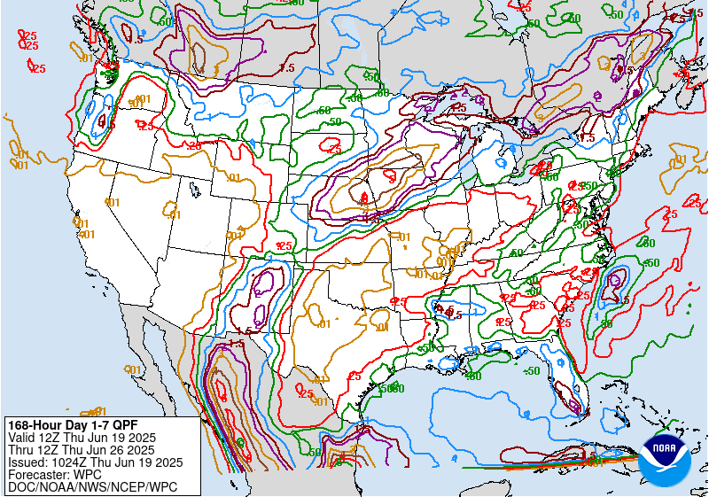
Here is the latest NWS/Weather Prediction Center rainfall amount guidance for between
now and 7am next Saturday…

At this point, although there could be isolated severe thunderstorms locally today/tonight
and again tomorrow, it appears that the highest risk of severe thunderstorms (1″ diameter
hail or larger and/or 50 knot/58 mph or more straight line thunderstorm gusts and/or
tornadoes) appears to be to the north through northwest and west of our local area.
Right now, things are pretty quiet. However, we need to all remain weather aware for
isolated stronger thunderstorms through tomorrow with the best chances of heavier,
more excessive, rains tomorrow night into the new week.
I’ll continue to monitor.. tk