Troy Kimmel Weather

Forecasting Austin and South Central Texas Weather Since 1984

TK’s Weather Discussion….

Updated 800am CT – Thursday / 20 November 2014

…. Warmer Temperatures, More Clouds and Rain Chances by Late Week into the Weekend ….
…. Stormy Weather Due Going into the Weekend ….
…. Another Cold Front Due Late Saturday Night/Early Sunday Morning ….

On this Thursday morning…. high pressure continues to move eastward from the southeastern USA. A trough.. or line.. of surface low pressure extends from southeastern Kansas southwestward across western Oklahoma and west Texas. As a result of this surface weather pattern, our local surface winds are south southwesterly.

In the upper levels of the atmosphere.. a large area of upper level low pressure area, covering much of the eastern half of the USA, is centered over the area from Hudson Bay south southeastward to the northeastern USA. Another strong upper level low pressure storm system is approaching the Pacific northwestern USA. As a result, our upper air winds at about 18,500 feet are southwesterly 30 to 40 mph.

As south southeasterly surface winds continue to increase, humidity and clouds will increase. There is a slim chance of rain or rain showers in the areas as early as today.

With the approach of a dynamic upper air low pressure disturbance and surface cold front by late tomorrow into Saturday night, enough atmospheric instability and lift will develop for the possibility of rain showers and even stronger thunderstorms.

The NWS/Storm Prediction Center has posted a marginal to enhanced risk of severe thunderstorms for areas to our west for late Friday into Friday night with the risk more overhead and into southeast Texas for Saturday and shifting eastward thereafter. Large hail.. damaging thunderstorms and even a few tornadoes are possible.

Guidance continues to suggest potential rainfall amounts to 1 to 2 inches across our area with this weather system.

As the cold front passes late Saturday night… breezy and drier air will once again build into the area from the west and northwest with clearing skies.

A second cold front will move through the area by Sunday evening with cooler temperatures following for Sunday night and into the new week.

Regarding my forecast, my local forecast confidence: My forecast confidence is high to very tonight through the next seven days.

Have a good Thursday….
Meteorologist Troy Kimmel

Contact me:
tkimmel@austin.utexas.edu
http://www.facebook.com/troykimmel
TK’s Special Briefing….

Austin / Travis County and South Central Texas Weather Statement
Prepared by UT University/Incident Meteorologist Troy Kimmel
900am CT – Thursday / 20 November 2014

.. Threat of Severe Thunderstorms for Late Friday Night into Saturday ..

SYNOPTIC/FORECAST REASONING:
A strong upper level low pressure disturbance and an associated Pacific cold
front will sweep across Texas late Friday through Saturday. In advance of the
system, an increasingly moist and unstable air mass is building. As the system
crosses the state, abundant and dynamic lift will result in the development of
rain showers and thunderstorms… some of the thunderstorms may be severe
with the threat of larger hail.. damaging winds and even a few tornadoes.

At this point, the system is forecast to pass the area by Saturday evening with
partial clearing Saturday night. Sunshine is expected Sunday.

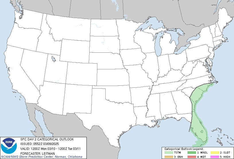
The NWS/Storm Prediction Center has the western parts of our local area in a marginal risk
for severe thunderstorms for both late Friday into early Saturday through 6am (NWS SPC’s
day two outlook):


.. as well, with an “enhanced” risk as from 6am Saturday morning through the day Saturday (NWS SPC’s
day three outlook):


This event.. according to the latest NWS rainfall forecasts.. could produce
upwards of 1 to 2 inches locally but the system is forecast to be fairly progressive
(i.e., fast moving and moving on through the area) so it should not create widespread
flooding.

This acts as an initial heads up for this event. I’ll continue to keep you informed.

tk

CALL TO ACTION:

Please remain “weather aware” and listen for the latest weather statements,
advisories, watches and warnings from the National Weather Service.

Make sure that your NOAA All Hazards Weather Radio is operational and are
set to alarm in case of severe and inclement weather watches and/or warnings.

FOLLOWUP STATEMENTS:

I will continue to keep you informed regarding this severe/inclement weather
event. Any questions, please let me know at tkimmel@austin.utexas.edu

GENERAL WEATHER INFORMATION LINKS:

NWS/Austin-San Antonio Current Statements/Advisory/Watches/Warnings
NWS/Austin-San Antonio Web Page
NWS/Storm Prediction Center (Outlooks)
NWS/Storm Prediction Center (Mesoscale Discussions – Severe Weather & Snow)
NWS/Storm Prediction Center (Severe Thunderstorm/Tornado Watches)
NWS/Weather Prediction Center (Mesoscale Discussions – Heavy Rain & Flooding)
NWS/National Hurricane Center

tk

TK’s Special Briefing….

Finally something from NPR I like!!!! A great read…. Yes, The Weather Is Polar. No, It’s Not The Vortex