TK’s Weather Briefing….

Austin / Travis County and South Central Texas Weather Statement #11
Prepared by UT University/Incident Meteorologist Troy Kimmel
105pm CT – Tuesday / 16 June 2015
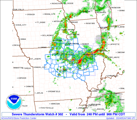
WW0302 Radar

… Tornado Watch issued for the IH35 Corridor Counties until 12 midnight…

… A Flash Flood Watch Remains in Effect Until 1pm Thursday ….

tk

TK’s Special Briefing….

Austin / Travis County and South Central Texas Weather Statement #8
Prepared by UT University/Incident Meteorologist Troy Kimmel
755am CT – Tuesday / 16 June 2015

Links for you to have handy during this event…

NHC Tropical Cyclone Bill forecast package link
http://www.nhc.noaa.gov/graphics_at2.shtml?5day#contents


Latest NASA Satellite Picture
http://1.usa.gov/1dE8AiI

Latest NWS Composite Weather Radar for Southern Plains
http://radar.weather.gov/ridge/Conus/Loop/southplains_loop.gif

NWS/Austin-San Antonio Local Impacts Statement (HLS)
http://www.wrh.noaa.gov/total_forecast/getprod.php?afos=xxxhlsewx&print=yes

NWS/Austin-San Antonio Website
http://www.srh.noaa.gov/ewx/

NWS/Storm Prediction Center has issued a Mesoscale Discussion for Areas East of
Austin… they are monitoring for the possibility of a tornado watch later this morning …

MD 1030 graphic
LINK to discussion:  http://www.spc.noaa.gov/products/md/md1030.html

tk