Troy Kimmel Weather

Forecasting Austin and South Central Texas Weather Since 1984

TK’s Special Briefing…. (805pm CT-Sun/26Apr2015)

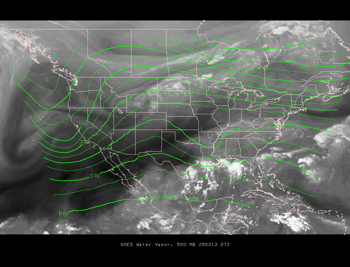
Austin / Travis County and South Central Texas Weather Update #3
Prepared by UT University/Incident Meteorologist Troy Kimmel
800pm CT – Sunday / 26 April 2015

…. Severe Thunderstorm Watch Issued for IH35 Corridor Counties
and Westward Across Texas Hill Country …. This Includes the Austin
Metro Area … It is in Effect Until 2am Monday Morning ….
WW0123 Radar

…. Counties Included in this Watch:
Williamson
Travis
Hays
and All of the Texas Hill Country to the West…

…. Text of the Watch ….

URGENT – IMMEDIATE BROADCAST REQUESTED
SEVERE THUNDERSTORM WATCH NUMBER 123
NWS STORM PREDICTION CENTER NORMAN OK
755 PM CDT SUN APR 26 2015

THE NWS STORM PREDICTION CENTER HAS ISSUED A

* SEVERE THUNDERSTORM WATCH FOR PORTIONS OF
THE EDWARDS PLATEAU AND HILL COUNTRY OF TEXAS

* EFFECTIVE THIS SUNDAY NIGHT AND MONDAY MORNING FROM 755 PM
UNTIL 200 AM CDT.

* PRIMARY THREATS INCLUDE…
ISOLATED VERY LARGE HAIL EVENTS TO 2 INCHES IN DIAMETER POSSIBLE
ISOLATED DAMAGING WIND GUSTS TO 70 MPH POSSIBLE

SUMMARY…RAPID THUNDERSTORM DEVELOPMENT IS EXPECTED IN THE NEXT 1-2
HOURS OVER THE EDWARDS PLATEAU AS A COLD FRONT COLLIDES WITH THE
REMNANT DRYLINE.  THE STORMS WILL LIKELY EVOLVE INTO LINE SEGMENTS
WITH THE POTENTIAL TO PRODUCE DAMAGING WINDS AND LARGE HAIL INTO THE
OVERNIGHT HOURS AS FAR E AS THE SAT-AUS CORRIDOR ALONG I-35.

THE SEVERE THUNDERSTORM WATCH AREA IS APPROXIMATELY ALONG AND 80
STATUTE MILES EAST AND WEST OF A LINE FROM 60 MILES EAST
NORTHEAST OF JUNCTION TEXAS TO 55 MILES EAST SOUTHEAST OF DEL RIO
TEXAS.  FOR A COMPLETE DEPICTION OF THE WATCH SEE THE ASSOCIATED
WATCH OUTLINE UPDATE (WOUS64 KWNS WOU3).

PRECAUTIONARY/PREPAREDNESS ACTIONS…

REMEMBER…A SEVERE THUNDERSTORM WATCH MEANS CONDITIONS ARE
FAVORABLE FOR SEVERE THUNDERSTORMS IN AND CLOSE TO THE WATCH
AREA. PERSONS IN THESE AREAS SHOULD BE ON THE LOOKOUT FOR
THREATENING WEATHER CONDITIONS AND LISTEN FOR LATER STATEMENTS
AND POSSIBLE WARNINGS. SEVERE THUNDERSTORMS CAN AND OCCASIONALLY
DO PRODUCE TORNADOES.

&&

Continuing to Monitor.. tk

TK’s Special Briefing…. (245pm CT-Sun/26Apr2015)

Austin / Travis County and South Central Texas Weather Statement #1
Prepared by UT University/Incident Meteorologist Troy Kimmel
245pm CT – Sunday / 26 April 2015

…. “Enhanced” Risk of Severe Thunderstorms Tonight for IH35 Corridor Counties ….


Risks:
Large hail 1″ in diameter or larger…
Straight line thunderstorm winds 58 mph or higher…
Isolated tornadoes..
Along with frequent deadly cloud-to-ground lightning.

I will not go into much detail here since I’ve been discussing this event since last week.
As predicted, rich maritime tropical moisture has returned to the area in combination with
strong daytime heating (in  the wake of the morning thunderstorms).  As seen below, a strong
upper level  low pressure disturbance is barreling eastward into west Texas. As this system
crosses the area tonight into the predawn hours on Monday, dynamic abundant atmospheric
lift will develop in a very unstable atmosphere with a mid and upper level wind field that will
be supportive for long lived supercell thunderstorms.. with large hail, damaging winds and
even a few tornadoes along with the ever present lightning threat.

http://www.atmo.arizona.edu/gifs/WV500MB.GIF

Please note that areas a little north of our area are in a “moderate” risk area which is
a more dangerous situation… Waco northward to the DFW metroplex.

The threat of severe thunderstorms will pass by the early morning hours tomorrow with
another warmer than average day in store. In the wake of the upper level storm system, a
strong cold front will surge through the area late tomorrow into tomorrow night with clearing
skies and highs in the 70s and lows in the 50s for Tuesday into Wednesday.

Please note that you are responsible for remaining “weather aware” tonight and listen for
the latest information from the National Weather Service…
NWS/Austin-San Antonio website:  http://www.srh.noaa.gov/ewx/

I’m monitoring… tk