Austin / Travis County and South Central Texas Weather Statement #2
Prepared by UT University/Incident Meteorologist Troy Kimmel
1035pm CT – Sunday / 15 January 2017
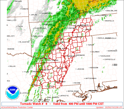
.. Tornado Watch Continues Until 12 Midnight for Travis, Williamson and Hays Counties ..
A strong thunderstorm.. embedded within a broad squall line of rain showers and thunderstorms
that extends from the DFW metroplex to west of San Antonio.. is currently west southwest
of the Austin area from Blanco to Spring Branch. In the last hour, the thunderstorm has been
characterized by a bowing segment which is indicative of strong straight line thunderstorm
winds. This strong thunderstorm is moving east northeastward toward the Austin metro area
and the IH35 corridor.
Lightning and lighter rain has already started in the Austin metro area and the IH35 corridor
counties with precipitation and lightning frequency expected to increase over the next hour.
In addition, strong straight line winds up to 40 to 45 mph and hail up to dime size are possible
as the strongest thunderstorms move east northeastward across Hays and southwestern parts
of Travis county.
This thunderstorm, as it has tracked east northeastward over the past couple of hours, has
a history of producing larger hail (one report of 4″ inch diameter hail near Medina around 8pm)
so we need to remain alert in case the thunderstorm pulses upward in strength.. which it has
done several times tonight.
I’ll continue to keep you advised.
tk
—
Austin / Travis County and South Central Texas Weather Statement #1
Prepared by UT University/Incident Meteorologist Troy Kimmel
715pm CT – Sunday / 15 January 2017
.. Tornado Watch Valid Until 12 Midnight for Travis, Williamson and Hays Counties ..
My thoughts… as you’ll notice, we’re on the extreme southeastern side of this
watch box. With the upper level disturbance moving northeastward out of southwest
Texas (the center of the disturbance is currently located southwest of Midland, TX),
I still feel the most dynamic lift will stay to the northwest of the local area more into the
heart of the tornado watch. In addition, as we get into the 9pm to 10pm hour, the suite of
short range high resolution atmospheric models indicate a general weakening of the
thunderstorms with a rather broad squall line of rain showers and thunderstorms
forecast to sweep across the IH35 corridor area in the time between 11 pm to 5am.
However, we still need to watch for (1) thunderstorms that might develop east of this
line (like we saw a little earlier this evening) and move rapidly northward over the
next few hours since there is enough wind shear with height in the atmosphere to cause
these thunderstorms to have some rotation.. (2) in addition, we’ll need to watch any
thunderstorms our west that move east northeastward displaying bowing characteristics.
It would be with these types of thunderstorms that there might be a very low tornado/
greater straight line thunderstorm risk between now and midnight.
At this point, the main threats I see locally with the main squall line, later tonight, will be
marginally severe hail, mainly non-severe strong straight line thunderstorm wind gusts
along with frequent deadly cloud-to-ground lightning. In addition, rainfall could average
1 to 2 inches (isolated heavier totals possible) but this rainfall will be quite beneficial.
I’ll keep you advised of any updates as necessary..
tk
… Below : Authority / NWS Storm Prediction Center …