Troy Kimmel Weather

Forecasting Austin and South Central Texas Weather Since 1984

TK’s Special Briefing…. (458pm CT-Sat/18Apr2015)

Austin / Travis County and South Central Texas Weather Update #18
Prepared by UT University/Incident Meteorologist Troy Kimmel
458pm CT – Saturday / 18 April 2015

…. NWS/Austin-San Antonio Has in Association with the NWS/Storm
Prediction Center Locally Extended the Severe Thunderstorm Watch
for the Texas Hill Country Into IH35 Corridor Counties ….

…. A Severe Thunderstorm Watch Is Now In Effect Until 9pm for
Williamson.. Travis and Hays Counties… along with all of the Texas
Hill Country …
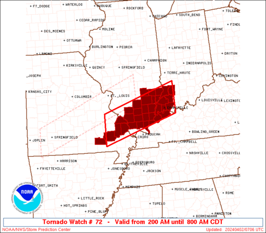
http://www.spc.noaa.gov/products/watch/ww0072_overview_big_wou.gif

The latest high resolution computer data suggests that rain showers
and thunderstorms..potentially severe with large 1″ or greater in diameter
hail and/or straight line thunderstorm winds of 58 mph or higher along with
the smaller risk a isolated tornadoes.. along with frequent deadly cloud to
ground lightning
will likely occur across the IH35 corridor counties in the
600pm to 12 midnight time frame tonight.

Monitoring.. tk
TK’s Special Briefing.. (225pm CT – Sat/18Apr2015)

Austin / Travis County and South Central Texas Weather Update #17
Prepared by UT University/Incident Meteorologist Troy Kimmel
225pm CT – Saturday / 18 April 2015

…. “Enhanced” Risk of Severe Thunderstorms for Texas Hill Country….
….”Slight” Risk of Severe Thunderstorms IH35 Corridor and Eastward ….

As anticipated, clouds have brokenĀ  with surface heating acting to quickly
destabilize the atmosphere over the central and western parts of our area.
This is happening as the next upper level low pressure disturbance.. rotating
in a counterclockwise direction around the upper low over Colorado.. heads
eastward out of west Texas. As this occurs.. atmospheric lift and instability
will cause the development of rain showers and strong thunderstorms to our
distant west over the next few hours with severe weather a possibility..

The NWS/Storm Prediction Center has issued a SEVERE THUNDERSTORM
WATCH valid until 9pm tonight for the Texas Hill Country west of the IH35
corridor counties. The IH35 corridor counties.. Williamson.. Travis and Hays
are NOT in this watch.

WW0072 SAW
Continuing to monitor.. tk